Drone Surveys in Forestry
Tutor: Jamie Brookes of Landscan UK - this course is designed to introduce and explain practical drone survey usage for woodland management and provide an overview of ‘remote sensing’ practices and limitations.
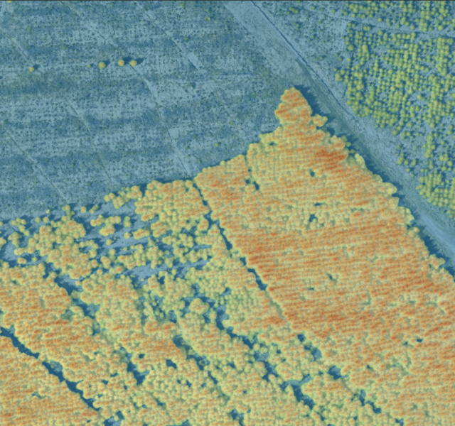
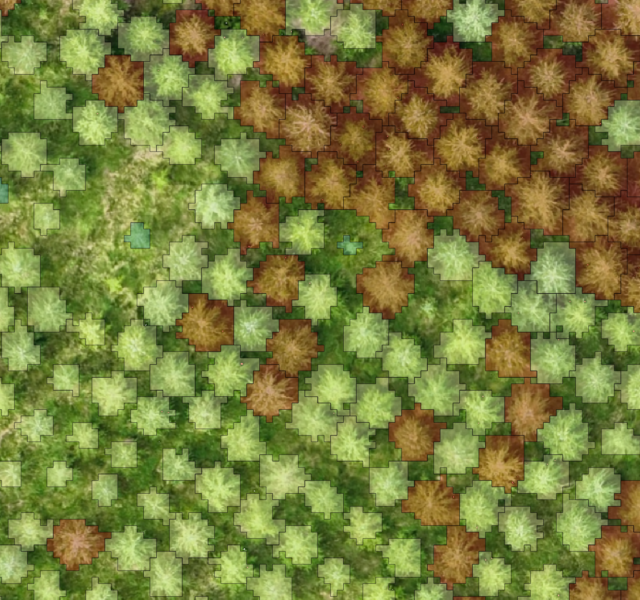
This course is designed to introduce and explain practical drone survey usage for woodland management and provide an overview of ‘remote sensing’ practices and limitations.
Including drones, LiDAR, satellite, GPS positioning, this introductory course aims to showcase the existing landscape of techniques forest managers may use in the near future to augment their activities.
Featuring examples of specific case studies, the course will be desk based in the morning. In the afternoon, we will together plan and perform a drone survey on a section of Battram Wood.
The intention with this course is to equip attendees with the confidence and practical understanding required to begin to perform their own drone surveys.
This course will enable delegates to:
- Understand different types of data generated from remote sensing
- Explore the different technologies used to generate that data
- Understand some of the use cases currently being used by industry
- Understand the limitations
- Perform a drone scan (weather dependent, but we have selected June to give the best chance of good weather).
Jamie wrote an article ‘Aerial land scanning’ which is on our website, follow this link to read it. He also wrote ‘Emerging Drone Technologies to Support Forest Management‘ featured in the QJF April 2026 pg 116.
In September 2025, Jamie ran a course entitled ‘New technology in Forestry’, here is some feedback we received…
“The course was very good… and Jamie is a natural at delivering courses to a high standard.”
“I found the course to be excellent, I very much enjoyed Jamie’s teachings, clearly a lot of work had gone into the production of the day.”
Places are limited to a maximum of 16 delegates to ensure that everyone can contribute and have their individual questions answered. Hot drinks will be included but lunch is not, so please bring a packed lunches.
Price: £100 RFS members / £155 Non-member
Please note: Card payment is by PayPal but you do not need a PayPal account to use it, check out as as a guest.
Jamie Brookes
Owner of Landscan UK
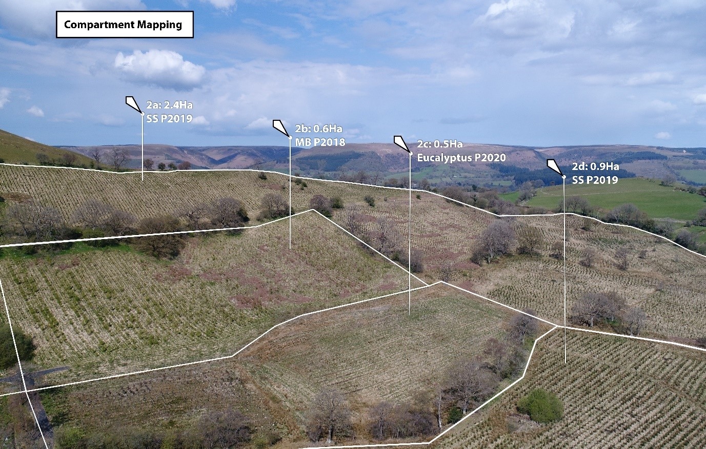
Jamie Brookes has been exploring the integration of drone surveys into everyday forest and woodland management practices.
A CAA approved drone pilot for six years, Jamie has utilised a range of aerial technologies including drones, LiDAR, and multispectral imaging – and has specialised in using these technologies in a forestry setting.
Working with clients from state organisations, nature trusts, estates and individual woodland owners, Jamie has applied these techniques to achieve a range of land management objectives including invasive species identification, pest and disease monitoring (particularly ash dieback) and operations planning.